
WaterBridge
Real-time water scarcity reporting for communities, NGOs, and municipalities. Making urgent water needs visible when it matters most.
"During the 2026 El Niño drought, I watched water stress unfold unevenly across Southern Africa — some towns critical, others fine, with no shared picture of where help was needed most. WaterBridge exists to close that gap: a lightweight, mobile-first tool that lets anyone report a water shortage in seconds, and lets responders see the full picture on a live map. Built for low-end devices and poor connectivity, because the people who need this most often have both."
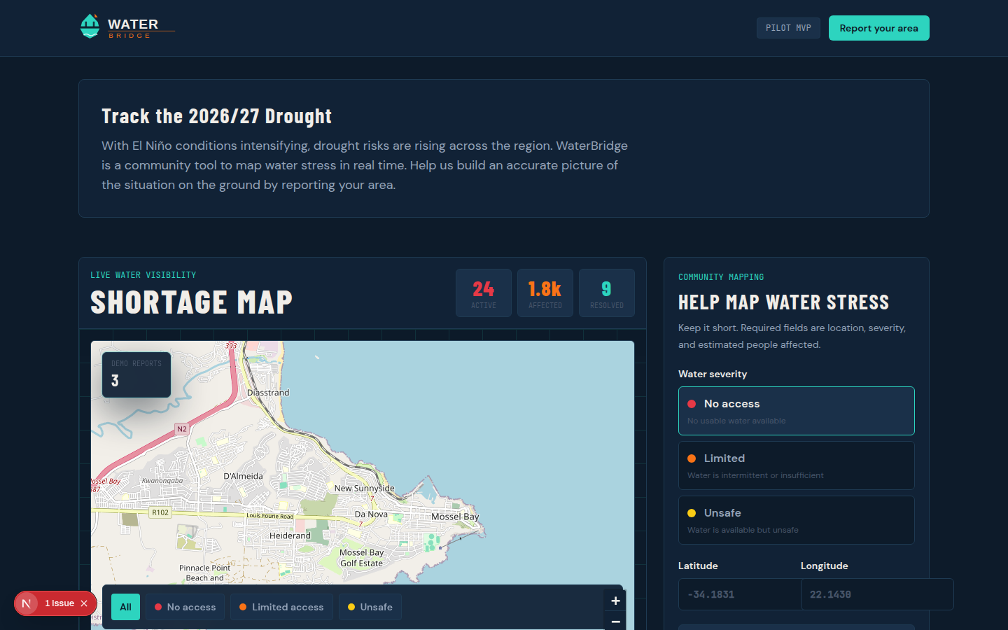
Interactive Severity Map
Color-coded, clustered markers — red for no access, orange for limited access, yellow for unsafe water — built on Leaflet and OpenStreetMap for zero API cost at scale.
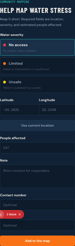
Frictionless Reporting
GPS-based submission in seconds: severity, people affected, and an optional note. No account required, designed for use under stress.
NGO Status Tracking
Responders move reports through New → In Progress → Resolved, creating a transparent trail of response progress.
Spam-Resistant by Design
IP + geohash rate limiting prevents duplicate and bad-faith reports without requiring user accounts — critical for anonymous, low-barrier community reporting.

WaterBridge is a mobile-first PWA built for resilience on low-end devices and unreliable networks, using a modern, low-cost stack suited to rapid humanitarian deployment.
                    ┌───────────────────────────────────────┐
                    │           Client Interface            │
                    │      Next.js PWA (Mobile-First)       │
                    └───────────────────┬───────────────────┘
                                        │
                                        │ Supabase Client
                                        ▼
                    ┌───────────────────────────────────────┐
                    │         Supabase (Postgres)           │
                    │   Auth · RLS · Realtime · Storage     │
                    └───────────────────┬───────────────────┘
                                        │
                                        ▼
                    ┌───────────────────────────────────────┐
                    │      Leaflet + OpenStreetMap          │
                    │        Geospatial Visualization       │
└───────────────────────────────────────┘Ready to see where water is needed most?